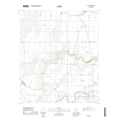
2018 Map of Irwin Lake
USGS Topo · Published 2018About this map
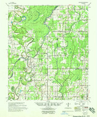
Oak Ridge anchors the northeastern corner of this 2018 survey, where the low-lying agricultural plains of Morehouse Parish meet the complex wetland systems of the Mississippi Delta. The landscape is defined by its waterways, most notably the winding Boeuf River and Bayou Lafourche, which together with Alligator Bayou and Como Bayou create a network of drainage and sloughs typical of Louisiana bottomlands. Genealogists will find a concentrated cluster of historic burial grounds scattered across the terrain, including Conger Cem, Irwin Lake Cem, and the James Chapel Cem near New Salem Cem. These sites, alongside family-named markers like Gum Ridge and White Island, speak to the deep-rooted rural settlement patterns of the region. The map also traces the jurisdictional line where Morehouse Parish meets Richland Parish, highlighting the importance of crossings like Smith Bridge in a territory heavily shaped by its seasonal water levels.
Find a feature on this map
75 named features on this map. Tap any name to fly to it.
Don’t see what you’re looking for? This feature index may not catch every label — zoom into the map to look around manually.
Map Details
Editions of this 2018 Irwin Lake Map
This is the sole edition of this map. No revisions or reprints were ever made.
Other maps of this area
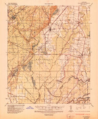
1935 · Collinston
USGS Topo · 1:62,500
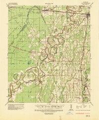
1935 · Alto
USGS Topo · 1:62,500
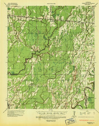
1935 · Baskinton
USGS Topo · 1:62,500
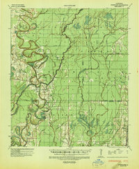
1935 · Hurricane
USGS Topo · 1:62,500

1955 · Jackson
USGS Topo · 1:250,000
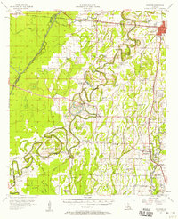
1957 · Mangham
USGS Topo · 1:62,500
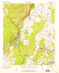
1957 · Collinston
USGS Topo · 1:62,500
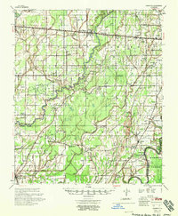
1958 · Baskinton
USGS Topo · 1:62,500
1958 · Hurricane
USGS Topo · 1:62,500

1961 · Jackson
USGS Topo · 1:250,000