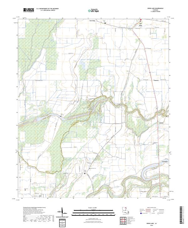
2024 Map of Irwin Lake
USGS Topo · Published 2024About this map
Oak Ridge anchors the northern landscape of this Louisiana delta region where the Morehouse Parish and Richland Parish lines converge. The terrain is defined by a dense network of waterways including Bayou Lafourche, Bayou Galion, and the winding Boeuf River. This water-rich environment historically relied on river crossings, evidenced by several ferry sites such as Easons Ferry, Jones Ferry, and Lorrras Ferry situated along the many bayous and sloughs.
Find a feature on this map
76 named features on this map. Tap any name to fly to it.
Don’t see what you’re looking for? This feature index may not catch every label — zoom into the map to look around manually.
Map Details
Editions of this 2024 Irwin Lake Map
This is the sole edition of this map. No revisions or reprints were ever made.
Other maps of this area

1935 · Collinston
USGS Topo · 1:62,500

1935 · Alto
USGS Topo · 1:62,500

1935 · Baskinton
USGS Topo · 1:62,500

1935 · Hurricane
USGS Topo · 1:62,500

1955 · Jackson
USGS Topo · 1:250,000

1957 · Mangham
USGS Topo · 1:62,500

1957 · Collinston
USGS Topo · 1:62,500

1958 · Baskinton
USGS Topo · 1:62,500

1958 · Hurricane
USGS Topo · 1:62,500

1961 · Jackson
USGS Topo · 1:250,000