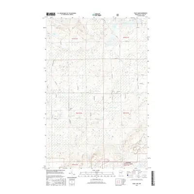
2016 Map of Isaac Lake
USGS Topo · Published 2016About this map
The Superior National Forest dominates this northern Minnesota landscape, where a complex network of waterways and timber access roads defines the terrain. The central hydrology is anchored by Isaac Lake and the meandering Embarrass River, which cuts across the central portion of the quadrangle. Smaller water bodies like Kaunonen Lake, Island Lake, and Sock Lake are scattered throughout the glacial topography.
Find a feature on this map
49 named features on this map. Tap any name to fly to it.
Don’t see what you’re looking for? This feature index may not catch every label — zoom into the map to look around manually.
Map Details
Editions of this 2016 Isaac Lake Map
This is the sole edition of this map. No revisions or reprints were ever made.
Other maps of this area

1933 · Ely
USGS Topo · 1:62,500

1939 · Ely
USGS Topo · 1:62,500

1949 · Aurora
USGS Topo · 1:24,000

1949 · Isaac Lake
USGS Topo · 1:24,000

1949 · Allen
USGS Topo · 1:24,000

1949 · Embarrass
USGS Topo · 1:24,000

1950 · Isaac Lake
USGS Topo · 1:24,000

1950 · Embarrass
USGS Topo · 1:24,000

1950 · Allen
USGS Topo · 1:24,000

1950 · Aurora
USGS Topo · 1:24,000