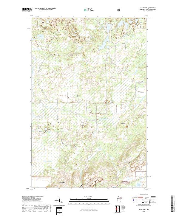
2022 Map of Isaac Lake
USGS Topo · Published 2022About this map
The Mesabi Range defines the southern portion of this region within the Superior National Forest, where the landscape transitions from industrial mining history to expansive northern wetlands. Significant iron ore activity is implied by the presence of Spring Mine Cr and the proximity of the northern Minnesota mining towns of Babbitt and Hoyt Lakes. Settlement history is grounded in the landscape through the Argo Cem and Armanda Cem, alongside family-named routes such as Niemi Rd, Teinila Rd, and Salo Rd. The northern section is dominated by complex water systems, including the Birch River and Embarrass River, which feed into numerous basins like Isaac Lake, Arthur Lake, and Kaunonen Lake. This area reflects a mid-20th-century development pattern where recreational forests and resource extraction coexist with small rural communities.
Find a feature on this map
53 named features on this map. Tap any name to fly to it.
Don’t see what you’re looking for? This feature index may not catch every label — zoom into the map to look around manually.
Map Details
Editions of this 2022 Isaac Lake Map
This is the sole edition of this map. No revisions or reprints were ever made.
Other maps of this area

1933 · Ely
USGS Topo · 1:62,500

1939 · Ely
USGS Topo · 1:62,500

1949 · Aurora
USGS Topo · 1:24,000

1949 · Isaac Lake
USGS Topo · 1:24,000

1949 · Allen
USGS Topo · 1:24,000

1949 · Embarrass
USGS Topo · 1:24,000

1950 · Isaac Lake
USGS Topo · 1:24,000

1950 · Embarrass
USGS Topo · 1:24,000

1950 · Allen
USGS Topo · 1:24,000

1950 · Aurora
USGS Topo · 1:24,000