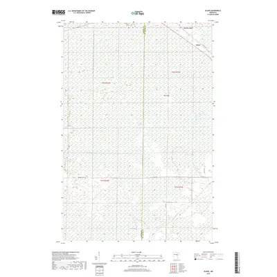
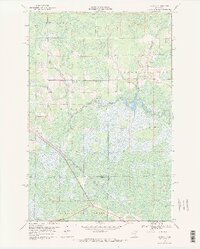
2019 Map of Island
USGS Topo · Published 2019About this map
Island and the railway junction at Hartley Spur anchor this remote landscape on the border of Aitkin and Saint Louis Counties. The terrain is characterized by extensive wetlands, notably the Island Farm Swamp, which dominates the central portion of the survey. The Savanna River and Sixteen Cr wind through these lowlands, which are interspersed with higher ground such as Big Island. Modern navigation through this backcountry relies on a network of unpaved corridors including Hedbom Forest Trl and Hedom Trl. This area represents a classic example of northern Minnesota bog country, where early settlement was closely tied to the timber industry and rail spurs. Isolated water bodies like Potshot Lake provide clear landmarks within the vast tracts of wetland that define the local geography.
Find a feature on this map
18 named features on this map. Tap any name to fly to it.
Don’t see what you’re looking for? This feature index may not catch every label — zoom into the map to look around manually.
Map Details
Editions of this 2019 Island Map
This is the sole edition of this map. No revisions or reprints were ever made.
Other maps of this area

1953 · Duluth
USGS Topo · 1:250,000

1954 · Hibbing
USGS Topo · 1:250,000

1957 · Hibbing
USGS Topo · 1:250,000

1958 · Hibbing
USGS Topo · 1:250,000

1958 · Duluth
USGS Topo · 1:250,000
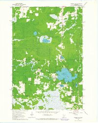
1963 · Prairie Lake
USGS Topo · 1:24,000
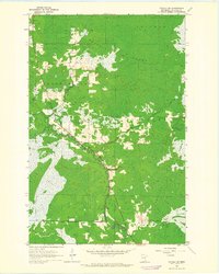
1963 · Toivola SW
USGS Topo · 1:24,000
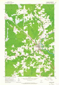
1963 · Floodwood
USGS Topo · 1:24,000

1964 · Hibbing
USGS Topo · 1:250,000
1969 · Wawina
USGS Topo · 1:24,000