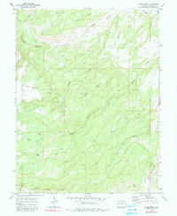
1969 Map of Island Mesa
USGS Topo · Published 1980About this map
Island Mesa and the adjacent Horse Mesa define this high-altitude landscape in Mesa County, where the terrain is deeply incised by a network of drainage systems. At the northeast corner, the Gunnison River cuts through the topography, while the southern reaches are dominated by the dramatic descent into Unaweep Canyon. The map reveals a land utilized for its natural resources and rugged accessibility, evidenced by Claypits in the northern section and scattered Drill Holes. A complex system of Jeep Trails provides the primary means of navigating between these flat-topped mesas and the deep shadows of Bangs Canyon and Hells Hole. Water sources are vital but sparse in this environment, represented by named locations such as Notch Spring, Corduroy Spring, and End Spring. This survey captures the area just before the 1970s, documenting a remote region of Colorado before any major modern shifts in usage or infrastructure.
Find a feature on this map
24 named features on this map. Tap any name to fly to it.
Don’t see what you’re looking for? This feature index may not catch every label — zoom into the map to look around manually.
Map Details
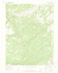
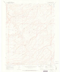
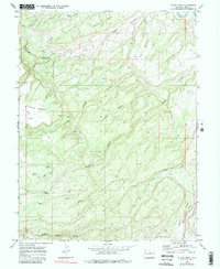
Editions of this 1969 Island Mesa Map
4 editions found
Other maps of this area

1934 · Colorado National Monument
USGS Topo · 1:24,000

1956 · Moab
USGS Topo · 1:250,000

1956 · Grand Junction
USGS Topo · 1:250,000

1959 · Grand Junction
USGS Topo · 1:250,000

1959 · Moab
USGS Topo · 1:250,000

1960 · Moab
USGS Topo · 1:250,000

1960 · Grand Junction
USGS Topo · 1:250,000

1962 · Moab
USGS Topo · 1:250,000

1962 · Grand Junction
USGS Topo · 1:250,000

1962 · Clifton
USGS Topo · 1:24,000