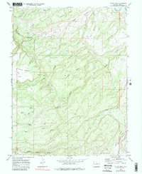
1969 Map of Island Mesa
USGS Topo · Published 1980About this map
Island Mesa and the surrounding high plateau country are defined by a complex network of drainage systems feeding toward the Gunnison River at the turn of the 1970s. The landscape is carved by significant topographical depressions like Hells Hole and extensive canyon networks including Bangs Canyon and Rough Canyon. These deep incisions in the mesa create a distinct pattern of isolated benches and ridges, such as Clarks Bench and Horse Mesa.
Find a feature on this map
21 named features on this map. Tap any name to fly to it.
Don’t see what you’re looking for? This feature index may not catch every label — zoom into the map to look around manually.
Map Details
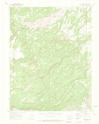
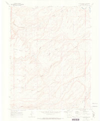
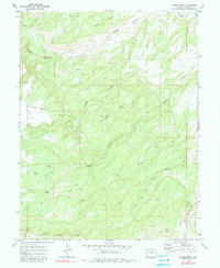
Editions of this 1969 Island Mesa Map
4 editions found
Other maps of this area

1934 · Colorado National Monument
USGS Topo · 1:24,000

1956 · Moab
USGS Topo · 1:250,000

1956 · Grand Junction
USGS Topo · 1:250,000

1959 · Grand Junction
USGS Topo · 1:250,000

1959 · Moab
USGS Topo · 1:250,000

1960 · Moab
USGS Topo · 1:250,000

1960 · Grand Junction
USGS Topo · 1:250,000

1962 · Moab
USGS Topo · 1:250,000

1962 · Grand Junction
USGS Topo · 1:250,000

1962 · Clifton
USGS Topo · 1:24,000