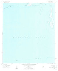
1958 Map of Isle Aux Herbes
USGS Topo · Published 1959About this map
The coastal waters of Mobile County are captured here just before the end of the 1950s, centered on the marshy expanse of Isle Aux Herbes. This hydrographic survey documents the navigational landscape of the Mississippi Sound and Portersville Bay, focusing on the shallow reaches and barrier islands that define the Alabama coastline. The charting reflects a mid-century maritime economy dependent on the Intracoastal Waterway, which is noted with a Project Depth 12 Feet at the bottom of the sheet.
Find a feature on this map
14 named features on this map. Tap any name to fly to it.
Don’t see what you’re looking for? This feature index may not catch every label — zoom into the map to look around manually.
Map Details
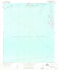
Editions of this 1958 Isle Aux Herbes Map
2 editions found
Other maps of this area

1921 · Grand Bay
USGS Topo · 1:62,500

1921 · Petit Bois Island
USGS Topo · 1:62,500

1921 · Dauphin Island
USGS Topo · 1:62,500

1921 · Delchamps
USGS Topo · 1:62,500

1941 · Cedar Point
USGS Topo · 1:62,500

1942 · Petit Bois Island
USGS Topo · 1:62,500

1942 · Fort Morgan
USGS Topo · 1:62,500

1943 · Cedar Point
USGS Topo · 1:62,500

1943 · Grand Bay
USGS Topo · 1:62,500

1953 · Mobile
USGS Topo · 1:250,000