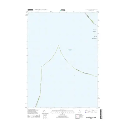
2015 Map of Isles of Shoals OE W
USGS Topo · Published 2015About this map
Lunging Island and White Island emerge as rocky outposts in this maritime survey of the outer Shoals. Situated at the watery intersection of York County, Maine and Rockingham County, New Hampshire, the map documents the sparse, granite-bound topography of these islands before they transition into the depths of the Atlantic Ocean. The presence of White Island Ledge and Square Rock illustrates the hazardous underwater shelf that has historically challenged New England mariners. This 2015 data reflects the precise jurisdictional boundary lines that split the archipelago between two states, an enduring geographic curiosity for those studying the border history of the New Hampshire and Maine coastlines.
Find a feature on this map
8 named features on this map. Tap any name to fly to it.
Don’t see what you’re looking for? This feature index may not catch every label — zoom into the map to look around manually.
Map Details
Editions of this 2015 Isles of Shoals OE W Map
This is the sole edition of this map. No revisions or reprints were ever made.
Other maps of this area

1888 · Newburyport
USGS Topo · 1:62,500

1890 · Newburyport
USGS Topo · 1:62,500

1893 · Dover
USGS Topo · 1:62,500

1893 · York
USGS Topo · 1:62,500

1894 · Newburyport
USGS Topo · 1:62,500

1916 · Dover
USGS Topo · 1:62,500

1918 · Dover
USGS Topo · 1:62,500

1920 · York
USGS Topo · 1:62,500

1932 · Newburyport
USGS Topo · 1:48,000

1934 · Exeter
USGS Topo · 1:62,500