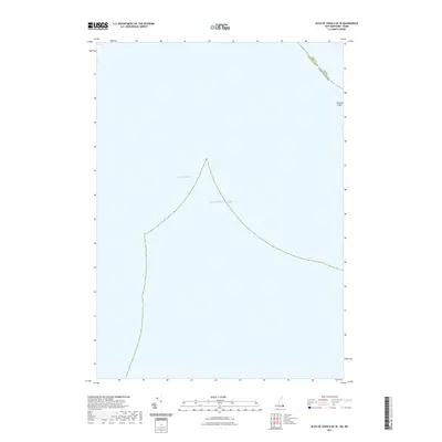
2021 Map of Isles of Shoals OE W
USGS Topo · Published 2021About this map
Lunging Island sits at the northeastern edge of this coastal survey, marking a primary point of land in a territory dominated by the Atlantic Ocean. The map documents the maritime boundary where New Hampshire and Maine meet, specifically at the intersection of Rockingham and York counties. West of the island, the waters of Bigelow Bight curve toward the mainland, illustrating the open-water geography of the Gulf of Maine. This 2021 edition focuses on the hydrography and shoreline of this specific offshore region, providing a precise record of the current state of these island features and their surrounding depths before the transition to more populated coastal land. It serves as a modern baseline for understanding the maritime limits and nautical landmarks of the Isles of Shoals vicinity.
Find a feature on this map
5 named features on this map. Tap any name to fly to it.
Don’t see what you’re looking for? This feature index may not catch every label — zoom into the map to look around manually.
Map Details
Editions of this 2021 Isles of Shoals OE W Map
This is the sole edition of this map. No revisions or reprints were ever made.
Other maps of this area

1888 · Newburyport
USGS Topo · 1:62,500

1890 · Newburyport
USGS Topo · 1:62,500

1893 · Dover
USGS Topo · 1:62,500

1893 · York
USGS Topo · 1:62,500

1894 · Newburyport
USGS Topo · 1:62,500

1916 · Dover
USGS Topo · 1:62,500

1918 · Dover
USGS Topo · 1:62,500

1920 · York
USGS Topo · 1:62,500

1932 · Newburyport
USGS Topo · 1:48,000

1934 · Exeter
USGS Topo · 1:62,500