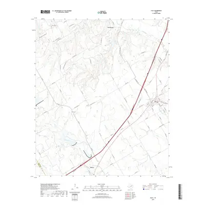
2019 Map of Italy
USGS Topo · Published 2019About this map
Italy and Milford anchor this central Texas landscape, where the blackland prairie of the Ellis Co Hill Co border meets a complex network of waterways. The terrain is defined by the southeastward flow of Chambers Creek, Hog Creek, and Mill Creek, which carve gentle valleys through the agricultural surroundings. Evidence of early rural infrastructure remains in the naming of thoroughfares like Bee Creek School House Rd, signaling former community centers that once served the outlying farmsteads.
Find a feature on this map
73 named features on this map. Tap any name to fly to it.
Don’t see what you’re looking for? This feature index may not catch every label — zoom into the map to look around manually.
Map Details
Editions of this 2019 Italy Map
This is the sole edition of this map. No revisions or reprints were ever made.
Other maps of this area
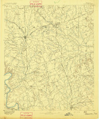
1891 · Cleburne
USGS Topo · 1:125,000
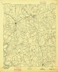
1894 · Cleburne
USGS Topo · 1:125,000
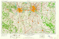
1954 · Dallas
USGS Topo · 1:250,000
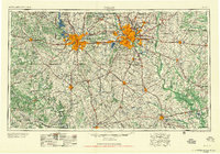
1958 · Dallas
USGS Topo · 1:250,000
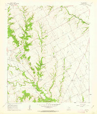
1960 · Boz
USGS Topo · 1:24,000
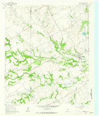
1961 · Maypearl
USGS Topo · 1:24,000
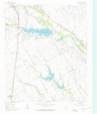
1961 · Forreston
USGS Topo · 1:24,000
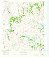
1965 · Files Valley
USGS Topo · 1:24,000
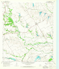
1965 · Avalon
USGS Topo · 1:24,000
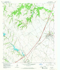
1965 · Italy
USGS Topo · 1:24,000