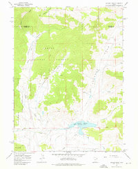
1967 Map of Jackson Draw
USGS Topo · Published 1976About this map
Ashley National Forest covers the high-elevation terrain of this 1967 survey, where a complex network of draws and creeks defines the drainage of the Uinta Mountains. The landscape is characterized by prominent erosional features like Jackson Draw, Davenport Draw, and Lambson Draw, which channel seasonal runoff toward the south. Near the base of the forest boundary, the Matt Warner Reservoir serves as a primary water management feature, with its spillway feeding into Pot Creek.
Find a feature on this map
20 named features on this map. Tap any name to fly to it.
Don’t see what you’re looking for? This feature index may not catch every label — zoom into the map to look around manually.
Map Details
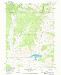
Editions of this 1967 Jackson Draw Map
2 editions found
Other maps of this area

1885 · Ashley
USGS Topo · 1:250,000

1950 · Burnt Cabin Gorge
USGS Topo · 1:24,000

1950 · Blair Basin
USGS Topo · 1:24,000

1952 · Warren Draw
USGS Topo · 1:24,000

1952 · Clay Basin
USGS Topo · 1:24,000

1952 · Dutch John Mtn
USGS Topo · 1:24,000

1952 · Goslin Mtn
USGS Topo · 1:24,000

1954 · Vernal
USGS Topo · 1:250,000

1958 · Vernal
USGS Topo · 1:250,000

1960 · Vernal
USGS Topo · 1:250,000