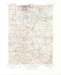
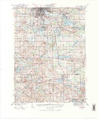
1935 Map of Jackson
USGS Topo · Published 1968About this map
Jackson and its surrounding glacial lake country are documented here during the mid-1930s, revealing a landscape defined by water and rail. The urban center transitions into recreational and residential clusters around Michigan Center and Vandercook Lake, while the southern reaches of the map show the headwaters of the Grand River and the Kalamazoo River. This area is dense with evidence of the region’s early educational system, featuring numerous rural schoolhouses such as East Liberty Sch and Crouch Sch that served these farming communities before consolidation.
Find a feature on this map
110 named features on this map. Tap any name to fly to it.
Don’t see what you’re looking for? This feature index may not catch every label — zoom into the map to look around manually.
Map Details
Editions of this 1935 Jackson Map
6 editions found
Other maps of this area

1919 · Stockbridge
USGS Topo · 1:62,500

1919 · Springport
USGS Topo · 1:62,500

1919 · Rives Junction
USGS Topo · 1:62,500

1921 · Rives Junction
USGS Topo · 1:62,500

1921 · Springport
USGS Topo · 1:62,500

1922 · Stockbridge
USGS Topo · 1:62,500

1935 · Jackson
USGS Topo · 1:48,000

1939 · Jackson
USGS Topo · 1:62,500

1942 · Stockbridge
USGS Topo · 1:62,500

1948 · Spring Arbor
USGS Topo · 1:62,500