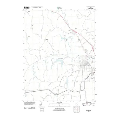
2010 Map of Jackson
USGS Topo · Published 2010About this map
Jackson serves as the regional anchor of this southern Ohio landscape, where the town’s grid is punctuated by the Jackson Post Office and bordered by residential growth in Jackson Heights. The surrounding terrain is a complex network of narrow hollows and ridges, such as McCune Ridge and Harper Hollow, defined by the winding paths of Salt Lick Creek and Buckeye Creek.
Find a feature on this map
83 named features on this map. Tap any name to fly to it.
Don’t see what you’re looking for? This feature index may not catch every label — zoom into the map to look around manually.
Map Details
Editions of this 2010 Jackson Map
This is the sole edition of this map. No revisions or reprints were ever made.
Other maps of this area

1906 · Waverly
USGS Topo · 1:62,500

1908 · Waverly
USGS Topo · 1:62,500

1911 · Sciotoville
USGS Topo · 1:62,500

1912 · Oak Hill
USGS Topo · 1:62,500

1913 · Sciotoville
USGS Topo · 1:62,500

1913 · Jackson
USGS Topo · 1:62,500

1944 · Jackson
USGS Topo · 1:62,500

1947 · Columbus
USGS Topo · 1:250,000

1957 · Huntington
USGS Topo · 1:250,000

1960 · Huntington
USGS Topo · 1:250,000