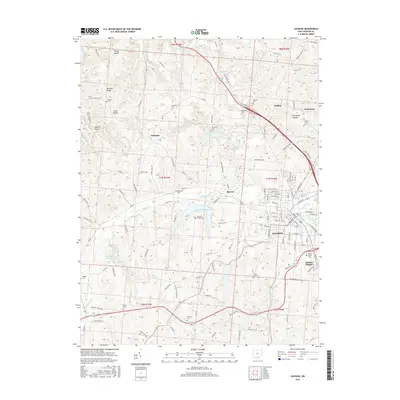
2016 Map of Jackson
USGS Topo · Published 2016About this map
Jackson serves as the focal point of this 2016 survey, where the street grid of the city seat meets the industrial and agricultural landscape of Jackson County. The area is defined by a series of hollows and ridges, including McCune Ridge and Harper Hollow, which direct the flow of Salt Lick Cr and Sugar Run. Several significant bodies of water, such as Hammertown Lake and Lake Katharine, dot the terrain, while Buckeye Swamp sits to the southwest.
Find a feature on this map
135 named features on this map. Tap any name to fly to it.
Don’t see what you’re looking for? This feature index may not catch every label — zoom into the map to look around manually.
Map Details
Editions of this 2016 Jackson Map
This is the sole edition of this map. No revisions or reprints were ever made.
Other maps of this area

1906 · Waverly
USGS Topo · 1:62,500

1908 · Waverly
USGS Topo · 1:62,500

1911 · Sciotoville
USGS Topo · 1:62,500

1912 · Oak Hill
USGS Topo · 1:62,500

1913 · Sciotoville
USGS Topo · 1:62,500

1913 · Jackson
USGS Topo · 1:62,500

1944 · Jackson
USGS Topo · 1:62,500

1947 · Columbus
USGS Topo · 1:250,000

1957 · Huntington
USGS Topo · 1:250,000

1960 · Huntington
USGS Topo · 1:250,000