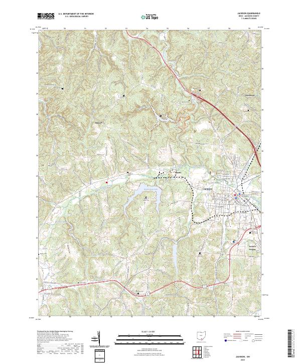
2023 Map of Jackson
USGS Topo · Published 2023About this map
The Jackson County Courthouse stands as the central landmark for this 2023 survey of south-central Ohio, where the city of Jackson serves as a dense hub of settlement surrounded by rolling ridge-and-valley terrain. The landscape is defined by its numerous family burial grounds and small communities, including Jonestown, Sharon, and Oakland. Water is a persistent feature of the topography, from the expanse of Hammertown Lake to the drainage networks of Salt Lick Creek, Buckeye Creek, and the low-lying Buckeye Swamp.
Find a feature on this map
143 named features on this map. Tap any name to fly to it.
Don’t see what you’re looking for? This feature index may not catch every label — zoom into the map to look around manually.
Map Details
Editions of this 2023 Jackson Map
This is the sole edition of this map. No revisions or reprints were ever made.
Other maps of this area

1906 · Waverly
USGS Topo · 1:62,500

1908 · Waverly
USGS Topo · 1:62,500

1911 · Sciotoville
USGS Topo · 1:62,500

1912 · Oak Hill
USGS Topo · 1:62,500

1913 · Sciotoville
USGS Topo · 1:62,500

1913 · Jackson
USGS Topo · 1:62,500

1944 · Jackson
USGS Topo · 1:62,500

1947 · Columbus
USGS Topo · 1:250,000

1957 · Huntington
USGS Topo · 1:250,000

1960 · Huntington
USGS Topo · 1:250,000