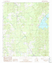
1986 Map of Jamestown
USGS Topo · Published 1986About this map
Black Lake Bayou and its winding tributaries define the topography of this portion of Bienville Parish in the mid-1980s. The settlement of Jamestown serves as a central point for the local road network, while the southern edge of the map features the outskirts of Castor. The landscape is heavily marked by the water systems of Kepler Lake and Kepler Creek, which dominate the eastern section.
Find a feature on this map
19 named features on this map. Tap any name to fly to it.
Don’t see what you’re looking for? This feature index may not catch every label — zoom into the map to look around manually.
Map Details
Editions of this 1986 Jamestown Map
This is the sole edition of this map. No revisions or reprints were ever made.
Other maps of this area

1947 · Ringgold
USGS Topo · 1:62,500

1947 · Ashland
USGS Topo · 1:62,500

1948 · Coushatta
USGS Topo · 1:62,500

1948 · Jamestown
USGS Topo · 1:62,500

1949 · Jamestown
USGS Topo · 1:62,500

1955 · Shreveport
USGS Topo · 1:250,000

1956 · Shreveport
USGS Topo · 1:250,000

1956 · Ringgold
USGS Topo · 1:62,500
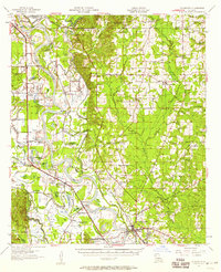
1957 · Coushatta
USGS Topo · 1:62,500

1957 · Ashland
USGS Topo · 1:62,500