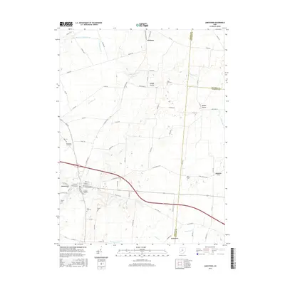
2016 Map of Jamestown
USGS Topo · Published 2016About this map
Jamestown serves as the primary hub for this portion of Greene County, where the intersection of local routes like W Xenia St and S Main St anchors the community. The surrounding landscape is defined by the headwaters of several drainages, including the branching arms of Caesar Cr and South Fork Massies Creek. These waterways dictate the positioning of small clusters such as Grape Grove and Gladstone.
Find a feature on this map
56 named features on this map. Tap any name to fly to it.
Don’t see what you’re looking for? This feature index may not catch every label — zoom into the map to look around manually.
Map Details
Editions of this 2016 Jamestown Map
This is the sole edition of this map. No revisions or reprints were ever made.
Other maps of this area

1904 · Springfield
USGS Topo · 1:62,500

1906 · Springfield
USGS Topo · 1:62,500

1907 · South Charleston
USGS Topo · 1:62,500

1916 · Octa
USGS Topo · 1:62,500

1917 · Xenia
USGS Topo · 1:62,500

1944 · Octa
USGS Topo · 1:62,500

1947 · Columbus
USGS Topo · 1:250,000

1954 · Clifton
USGS Topo · 1:24,000

1955 · Cedarville
USGS Topo · 1:24,000

1955 · Port William
USGS Topo · 1:24,000