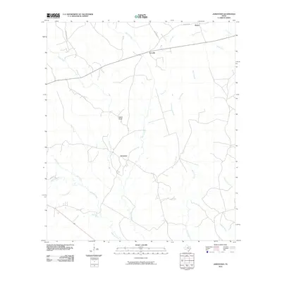
2010 Map of Jamestown
USGS Topo · Published 2010About this map
Jamestown and Farrsville anchor this rural landscape in Newton County, reflecting a late-twentieth-century settlement pattern defined by forest-lined watercourses and isolated crossroads. The terrain is deeply carved by an extensive drainage system, most notably Big Cow Creek, which bisects the quadrangle as it flows south. Smaller tributaries like Blue Branch and Hunter Creek create a complex network of ridges and gullies, such as the named Lewis Gully, that have historically dictated the placement of local roads like FM 1012 and Weeks Chapel RD.
Find a feature on this map
26 named features on this map. Tap any name to fly to it.
Don’t see what you’re looking for? This feature index may not catch every label — zoom into the map to look around manually.
Map Details
Editions of this 2010 Jamestown Map
This is the sole edition of this map. No revisions or reprints were ever made.
Other maps of this area

1944 · Wiergate
USGS Topo · 1:62,500

1948 · Wiergate
USGS Topo · 1:62,500

1952 · Lake Charles
USGS Topo · 1:250,000

1953 · Alexandria
USGS Topo · 1:250,000

1954 · Wiergate
USGS Topo · 1:24,000

1954 · Wiergate
USGS Topo · 1:62,500

1954 · Lake Charles
USGS Topo · 1:250,000

1955 · Alexandria
USGS Topo · 1:250,000

1955 · Roganville
USGS Topo · 1:62,500

1957 · Brookeland
USGS Topo · 1:62,500