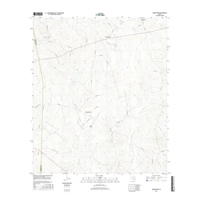
2016 Map of Jamestown
USGS Topo · Published 2016About this map
The settlement of Jamestown and the community of Farrsville anchor this 2016 survey of the piney woods and creek bottoms along the Jasper and Newton county line. The landscape is defined by a dense network of watercourses, with Big Cow Creek winding through the center of the quadrangle, joined by tributaries such as Lewis Gully and Caney Creek. To the north, Mattox sits near the headwaters of Yellow Bayou and Clear Creek, illustrating the dispersed residential patterns typical of this rural East Texas region.
Find a feature on this map
60 named features on this map. Tap any name to fly to it.
Don’t see what you’re looking for? This feature index may not catch every label — zoom into the map to look around manually.
Map Details
Editions of this 2016 Jamestown Map
This is the sole edition of this map. No revisions or reprints were ever made.
Other maps of this area

1944 · Wiergate
USGS Topo · 1:62,500

1948 · Wiergate
USGS Topo · 1:62,500

1952 · Lake Charles
USGS Topo · 1:250,000

1953 · Alexandria
USGS Topo · 1:250,000

1954 · Wiergate
USGS Topo · 1:24,000

1954 · Wiergate
USGS Topo · 1:62,500

1954 · Lake Charles
USGS Topo · 1:250,000

1955 · Alexandria
USGS Topo · 1:250,000

1955 · Roganville
USGS Topo · 1:62,500

1957 · Brookeland
USGS Topo · 1:62,500