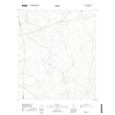
2019 Map of Jamestown
USGS Topo · Published 2019About this map
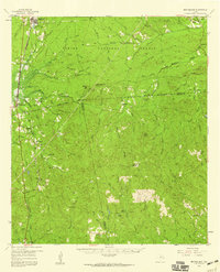
Jamestown and Farrsville anchor this rural landscape in eastern Texas, where a dense network of county roads and smaller waterways define the local topography. This 2019 survey captures the area at the boundary of Jasper Co and Newton Co, showing a region primarily shaped by timberlands and a complex drainage system. Notable watercourses like Big Cow Cr and Yellow Bayou cut across the terrain, accompanied by numerous named branches such as Hunter Cr, Martin Br, and Little Caney Br.
Find a feature on this map
62 named features on this map. Tap any name to fly to it.
Don’t see what you’re looking for? This feature index may not catch every label — zoom into the map to look around manually.
Map Details
Editions of this 2019 Jamestown Map
This is the sole edition of this map. No revisions or reprints were ever made.
Other maps of this area
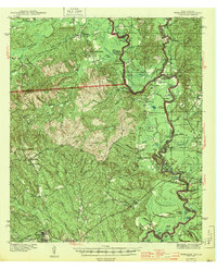
1944 · Wiergate
USGS Topo · 1:62,500
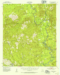
1948 · Wiergate
USGS Topo · 1:62,500
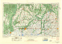
1952 · Lake Charles
USGS Topo · 1:250,000

1953 · Alexandria
USGS Topo · 1:250,000
1954 · Wiergate
USGS Topo · 1:24,000
1954 · Wiergate
USGS Topo · 1:62,500
1954 · Lake Charles
USGS Topo · 1:250,000

1955 · Alexandria
USGS Topo · 1:250,000
1955 · Roganville
USGS Topo · 1:62,500
1957 · Brookeland
USGS Topo · 1:62,500