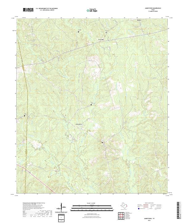
2022 Map of Jamestown
USGS Topo · Published 2022About this map
The community of Jamestown serves as a central point in this rural landscape, situated among the many tributaries of the Big Cow Cr drainage system. Settled along the border of Jasper and Newton counties, the area is characterized by a dense network of creek branches and named gullies like Lewis Gully, reflecting a landscape deeply shaped by its hydrology. Significant for genealogists and local historians, the region is dotted with family and community landmarks, including Pleasant Hill Cem, Farrsville Cem, and Pine Hill Cem. These burial grounds, alongside the Huff Creek Com and the settlement of Farrsville, indicate long-standing community roots in this timber-rich section of East Texas. The road network, including Weeks Chapel Rd and FM 1012, connects these dispersed settlements and cemeteries, tracing the historical movement of residents through the piney woods and across Yellow Bayou.
Find a feature on this map
66 named features on this map. Tap any name to fly to it.
Don’t see what you’re looking for? This feature index may not catch every label — zoom into the map to look around manually.
Map Details
Editions of this 2022 Jamestown Map
This is the sole edition of this map. No revisions or reprints were ever made.
Other maps of this area

1944 · Wiergate
USGS Topo · 1:62,500

1948 · Wiergate
USGS Topo · 1:62,500

1952 · Lake Charles
USGS Topo · 1:250,000

1953 · Alexandria
USGS Topo · 1:250,000

1954 · Wiergate
USGS Topo · 1:24,000

1954 · Wiergate
USGS Topo · 1:62,500

1954 · Lake Charles
USGS Topo · 1:250,000

1955 · Alexandria
USGS Topo · 1:250,000

1955 · Roganville
USGS Topo · 1:62,500

1957 · Brookeland
USGS Topo · 1:62,500