
1943 Map of Jay
USGS Topo · Published 1943About this map
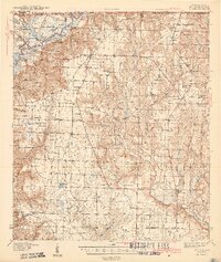
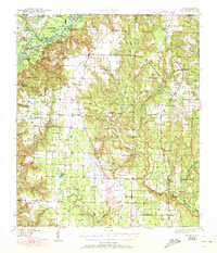
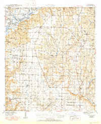
The Escambia River defines the western border of this 1940s landscape, where the state line meets the intricate river systems of Florida's panhandle. Centered on the town of Jay, the map reveals a rural economy shaped by proximity to water, characterized by numerous dead rivers, lakes, and ponds. Notable family-named and community landmarks like Smith Mill Pond and Oyster Landing indicate a reliance on the riverine environment for industry and transport.
Find a feature on this map
60 named features on this map. Tap any name to fly to it.
Don’t see what you’re looking for? This feature index may not catch every label — zoom into the map to look around manually.
Map Details
Editions of this 1943 Jay Map
4 editions found
Other maps of this area

1920 · Milton
USGS Topo · 1:62,500

1921 · Muscogee
USGS Topo · 1:62,500

1934 · Harold
USGS Topo · 1:62,500

1937 · Harold
USGS Topo · 1:62,500

1938 · Harold
USGS Topo · 1:62,500

1941 · Muscogee
USGS Topo · 1:62,500

1941 · Milton
USGS Topo · 1:62,500

1941 · Century
USGS Topo · 1:62,500

1943 · Muscogee
USGS Topo · 1:62,500

1943 · Century
USGS Topo · 1:62,500