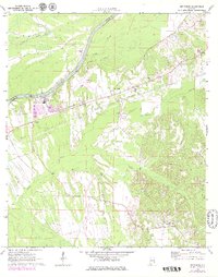
1970 Map of Jefferson
USGS Topo · Published 1979About this map
The Tombigbree River marks the western boundary of this landscape, separating Marengo and Sumter counties in a region defined by river-bottom lowlands and industrial infrastructure. In the early 1970s, the area near the river was anchored by the Demopolis Municipal Airport and a centralized water utility network featuring a Filtration Plant and Sewage Disposal facility. Rural life is centered around the community of Jefferson, where the local road network converges near Mt Zion Ch.
Find a feature on this map
26 named features on this map. Tap any name to fly to it.
Don’t see what you’re looking for? This feature index may not catch every label — zoom into the map to look around manually.
Map Details
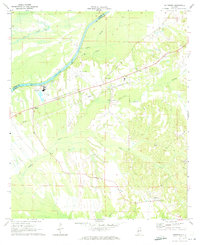
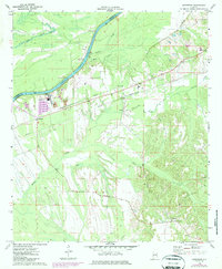
Editions of this 1970 Jefferson Map
3 editions found
Other maps of this area

1929 · Epes
USGS Topo · 1:48,000

1932 · Epes
USGS Topo · 1:62,500

1946 · Demopolis
USGS Topo · 1:24,000

1947 · Demopolis
USGS Topo · 1:24,000

1948 · Mc Dowell
USGS Topo · 1:24,000

1949 · Mc Dowell
USGS Topo · 1:24,000

1953 · Montgomery
USGS Topo · 1:250,000

1953 · Meridian
USGS Topo · 1:250,000

1956 · Montgomery
USGS Topo · 1:250,000

1957 · Meridian
USGS Topo · 1:250,000