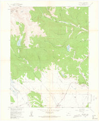
1958 Map of Jefferson
USGS Topo · Published 1962About this map
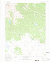
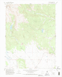
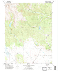
The Continental Divide forms a natural spine along the high peaks of this 1950s survey, marking the boundary between Summit Co and Park Co. High-altitude landmarks like Whale Peak and Jefferson Lake dominate the northwestern terrain, where water drains through narrow corridors such as Handcart Gulch and Gibson Gulch toward the South Platte River. The landscape shifts from the high timber of Pike National Forest and Arapahoe National Forest to the open ranching country at the northern edge of South Park.
Find a feature on this map
49 named features on this map. Tap any name to fly to it.
Don’t see what you’re looking for? This feature index may not catch every label — zoom into the map to look around manually.
Map Details
Editions of this 1958 Jefferson Map
7 editions found
Other maps of this area

1903 · Georgetown
USGS Topo · 1:62,500

1905 · Georgetown
USGS Topo · 1:62,500

1924 · Montezuma
USGS Topo · 1:62,500

1926 · Montezuma
USGS Topo · 1:62,500

1933 · Montezuma
USGS Topo · 1:62,500

1937 · Como
USGS Topo · 1:62,500

1945 · Mount Logan
USGS Topo · 1:24,000

1948 · Mount Logan
USGS Topo · 1:24,000

1953 · Denver
USGS Topo · 1:250,000

1957 · Denver
USGS Topo · 1:250,000