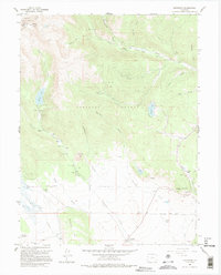
1958 Map of Jefferson
USGS Topo · Published 1995About this map
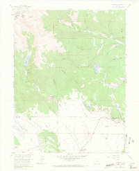
The Continental Divide serves as a natural boundary along the high peaks of the Arapaho National Forest and Pike National Forest in this 1950s survey. Lower elevations reveal a landscape of high-altitude ranching and early commerce centered around the settlement of Jefferson and the surrounding valley. Family-named properties like the Wahl Ranch, Steiner Ranch, and the Liesburg Homestead (Aban'd) indicate the homesteading history of the South Park region.
Find a feature on this map
38 named features on this map. Tap any name to fly to it.
Don’t see what you’re looking for? This feature index may not catch every label — zoom into the map to look around manually.
Map Details
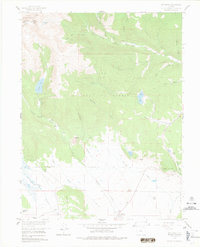
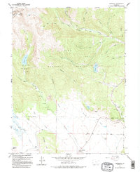
Editions of this 1958 Jefferson Map
7 editions found
Other maps of this area

1903 · Georgetown
USGS Topo · 1:62,500

1905 · Georgetown
USGS Topo · 1:62,500

1924 · Montezuma
USGS Topo · 1:62,500

1926 · Montezuma
USGS Topo · 1:62,500

1933 · Montezuma
USGS Topo · 1:62,500

1937 · Como
USGS Topo · 1:62,500

1945 · Mount Logan
USGS Topo · 1:24,000

1948 · Mount Logan
USGS Topo · 1:24,000

1953 · Denver
USGS Topo · 1:250,000

1957 · Denver
USGS Topo · 1:250,000