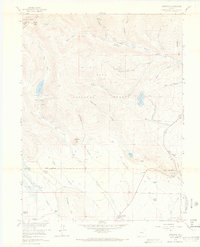
1958 Map of Jefferson
USGS Topo · Published 1969About this map
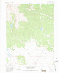
The settlement of Jefferson serves as the focal point for this 1950s study of the high-altitude landscape where the Continental Divide meets the headwaters of the North Fork South Platte River. The map captures a transition from the alpine heights of Whale Peak down to the ranching meadows of South Park. Evidence of the region’s early transportation and water management is visible in the Old Railroad Grade and the Lininger Ditch, tracing the path of commerce and irrigation through the Pike National Forest.
Find a feature on this map
46 named features on this map. Tap any name to fly to it.
Don’t see what you’re looking for? This feature index may not catch every label — zoom into the map to look around manually.
Map Details
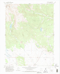
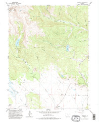
Editions of this 1958 Jefferson Map
7 editions found
Other maps of this area

1903 · Georgetown
USGS Topo · 1:62,500

1905 · Georgetown
USGS Topo · 1:62,500

1924 · Montezuma
USGS Topo · 1:62,500

1926 · Montezuma
USGS Topo · 1:62,500

1933 · Montezuma
USGS Topo · 1:62,500

1937 · Como
USGS Topo · 1:62,500

1945 · Mount Logan
USGS Topo · 1:24,000

1948 · Mount Logan
USGS Topo · 1:24,000

1953 · Denver
USGS Topo · 1:250,000

1957 · Denver
USGS Topo · 1:250,000