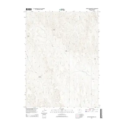
2014 Map of Jeffrey Reservoir SE
USGS Topo · Published 2014About this map
East Deer Creek Canyon and Jeffrey Canyon dominate the topography of this Lincoln County landscape, where deeply etched drainages carve through the Nebraska high plains. The area is defined by a network of seasonal watercourses and branching ravines, including Gulch Canyon and Gilman Canyon, which feed into the primary drainage of N Plum Cr. The transition from the rugged canyonlands to the more level terrain in the southeast is traced by Plum Cr, illustrating the complex erosional patterns typical of this Platte River valley hinterland.
Find a feature on this map
14 named features on this map. Tap any name to fly to it.
Don’t see what you’re looking for? This feature index may not catch every label — zoom into the map to look around manually.
Map Details
Editions of this 2014 Jeffrey Reservoir SE Map
This is the sole edition of this map. No revisions or reprints were ever made.
Other maps of this area

1902 · Gothenburg
USGS Topo · 1:125,000

1954 · McCook
USGS Topo · 1:250,000

1956 · Jeffrey Reservoir SW
USGS Topo · 1:24,000

1956 · Stockville NE
USGS Topo · 1:24,000

1956 · Moorefield
USGS Topo · 1:24,000

1957 · McCook
USGS Topo · 1:250,000

1958 · McCook
USGS Topo · 1:250,000
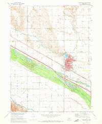
1970 · Gothenburg
USGS Topo · 1:24,000
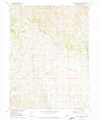
1970 · Jeffrey Reservoir SE
USGS Topo · 1:24,000
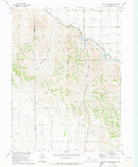
1970 · Gothenburg SW
USGS Topo · 1:24,000