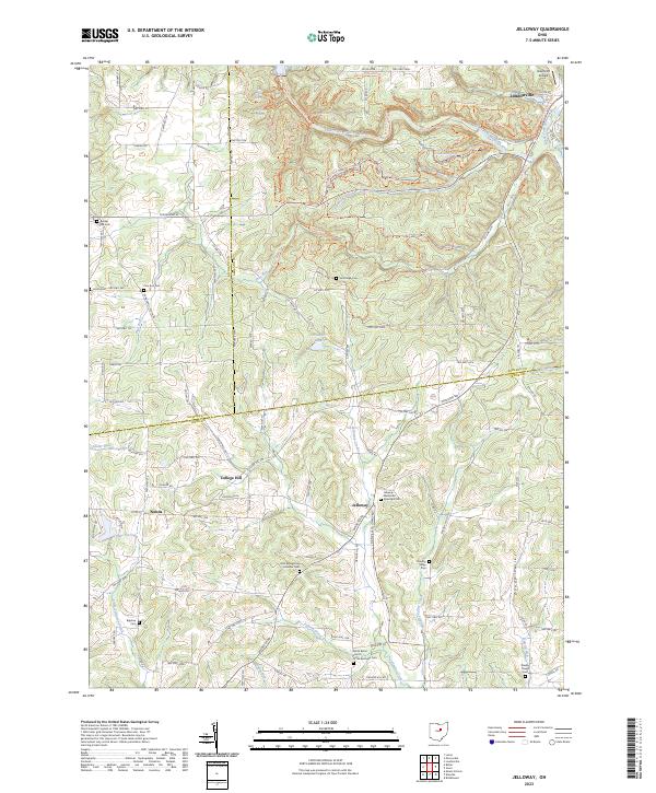
2023 Map of Jelloway
USGS Topo · Published 2023About this map
Mohican Mountain and the deep incisions of Hemlock Gorge dominate this portion of the Ohio landscape where the borders of Knox, Richland, and Ashland counties meet. The area is characterized by a high concentration of historical burial grounds and rural church sites, including the Jelloway Methodist Episcopal Cem and the Zion Evangelical Lutheran Cem, reflecting the early settlement patterns of these central Ohio townships. In the north, the Clear Fork Mohican River and Black Fork Mohican River converge near Loudonville, a region marked by numerous hiking and biking routes like the North Rim Trl and Pleasant Hill Trl. Further south, the settlement of Jelloway sits near the headwaters of Jelloway Creek, surrounded by family-named landmarks like Shadley Valley Creek and Doudy Valley, providing a detailed view of the region's complex drainage and rural community layout.
Find a feature on this map
134 named features on this map. Tap any name to fly to it.
Don’t see what you’re looking for? This feature index may not catch every label — zoom into the map to look around manually.
Map Details
Editions of this 2023 Jelloway Map
This is the sole edition of this map. No revisions or reprints were ever made.
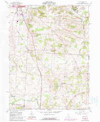
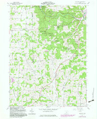
Historical Maps of Loudonville Through Time
12 maps found
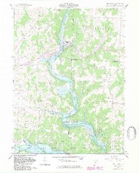
1961 Brinkhaven
Knox County, OH
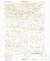
1961 Fredricktown
Knox County, OH
1961 Homer
Knox County, OH
1961 Hunt
Knox County, OH
1961 Jelloway
Knox County, OH
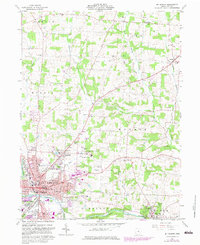
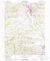
1961 Mt Vernon
Knox County, OH
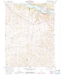
1961 Walhonding
Knox County, OH
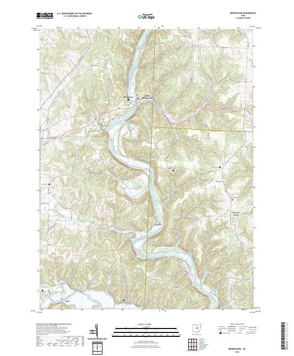
2023 Brinkhaven
Knox County, OH
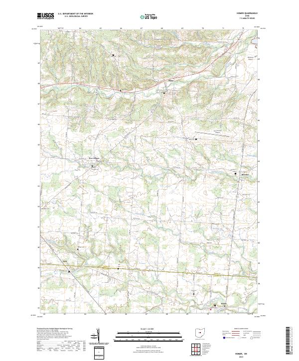
2023 Homer
Knox County, OH
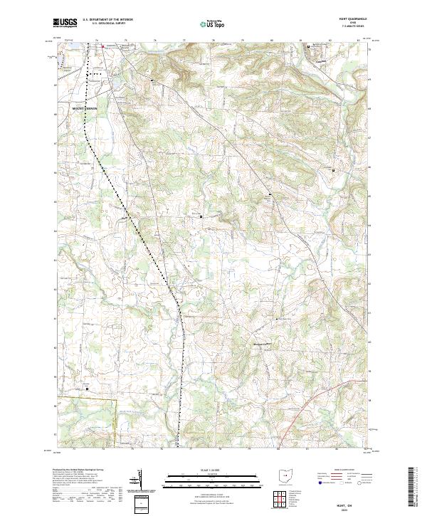
2023 Hunt
Knox County, OH
2023 Jelloway
Knox County, OH
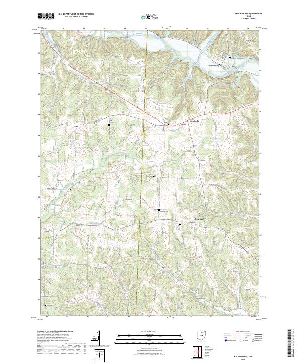
2023 Walhonding
Knox County, OH
Featured Locations
- Loudonville, OH
- Worthington Township, OH
- College Hill, Brown Township
- Jelloway, Brown Township
- Nunda, Brown Township