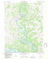
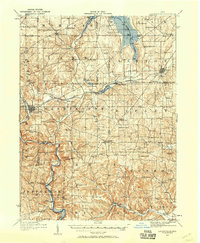
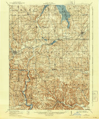
1961 Map of Brinkhaven
USGS Topo · Published 1983About this map
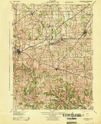
Mohican River carving through the heart of this landscape defines the rugged topography at the intersection of Knox, Holmes, and Coshocton Counties. In the early 1960s, the village of Brinkhaven (Gann) served as a local hub, situated near an extensive Oil Field and a prominent Gravel Pit. The influence of conservation efforts is evident in the sprawling Mohican River Wildlife Area and the Muskingum Watershed Conservancy District, protecting the river valley's natural character.
Find a feature on this map
42 named features on this map. Tap any name to fly to it.
Don’t see what you’re looking for? This feature index may not catch every label — zoom into the map to look around manually.
Map Details
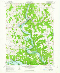
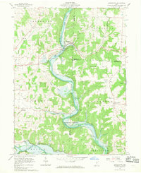
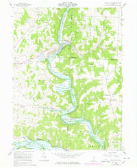
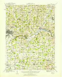
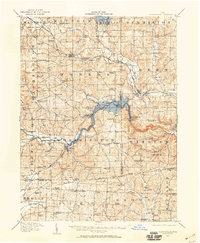
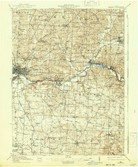
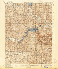
Editions of this 1961 Brinkhaven Map
4 editions found
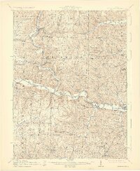
Other maps of this area
1912 · Loudonville
USGS Topo · 1:62,500
1912 · Gambier
USGS Topo · 1:62,500
1912 · Perrysville
USGS Topo · 1:62,500

1913 · Brinkhaven
USGS Topo · 1:62,500
1914 · Gambier
USGS Topo · 1:62,500
1914 · Loudonville
USGS Topo · 1:62,500
1915 · Brinkhaven
USGS Topo · 1:62,500
1915 · Perrysville
USGS Topo · 1:62,500
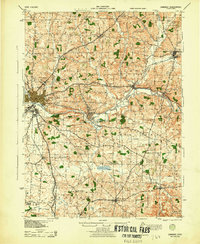
1943 · Gambier
USGS Topo · 1:62,500
1943 · Loudonville
USGS Topo · 1:62,500
Featured Places
- Brinkhaven, Union Township
- Newcastle Township, OH
- Tiverton Township, OH
- Tiverton Center, Tiverton Township
- Cavallo, Tiverton Township