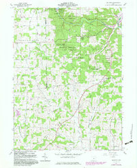
1961 Map of Jelloway
USGS Topo · Published 1983About this map
Mohican Memorial State Forest and its Memorial Shrine Forest Preserve dominate the northern landscape of this Knox County quadrangle, where the Clear Fork Mohican River flows through deep valleys. This survey, updated in the early 1980s from 1961 data, captures the rural character of settlements like Jelloway, Nunda, and Ireland. A significant historical boundary, the Greenville Treaty Line, cuts across the center of the sheet, marking the divide between the Congress Lands and the United States Military District.
Find a feature on this map
57 named features on this map. Tap any name to fly to it.
Don’t see what you’re looking for? This feature index may not catch every label — zoom into the map to look around manually.
Map Details
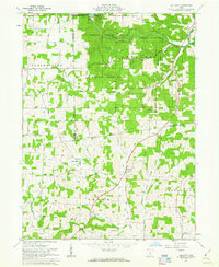
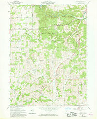
Editions of this 1961 Jelloway Map
3 editions found
Other maps of this area

1912 · Loudonville
USGS Topo · 1:62,500

1912 · Gambier
USGS Topo · 1:62,500

1912 · Perrysville
USGS Topo · 1:62,500

1913 · Brinkhaven
USGS Topo · 1:62,500

1914 · Gambier
USGS Topo · 1:62,500

1914 · Loudonville
USGS Topo · 1:62,500

1915 · Brinkhaven
USGS Topo · 1:62,500

1915 · Perrysville
USGS Topo · 1:62,500

1943 · Gambier
USGS Topo · 1:62,500

1943 · Loudonville
USGS Topo · 1:62,500