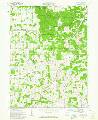
1961 Map of Jelloway
USGS Topo · Published 1963About this map
The Greenville Treaty Line cuts across this landscape, marking a significant historical boundary through the heart of north-central Ohio. This 1961 survey depicts the rural transitions of Knox County and Ashland County, where the dense timber of Mohican State Forest and Memorial State Forest gives way to upland farming. The terrain is defined by the winding course of the Clear Fork Mohican River and the northern reaches of Jelloway Creek. Small, dispersed settlements like Jelloway and College Hill anchor the local geography, alongside numerous country churches including Salem Ch and Zion Ch. The abundance of gas wells across the hillsides suggests the energy production that underpinned the local economy, while landmarks like a Lookout Tower and a rural Landing Strip reflect mid-century infrastructure in a remote, rolling environment.
Find a feature on this map
49 named features on this map. Tap any name to fly to it.
Don’t see what you’re looking for? This feature index may not catch every label — zoom into the map to look around manually.
Map Details
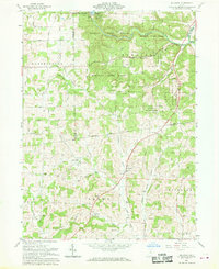
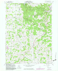
Editions of this 1961 Jelloway Map
3 editions found
Other maps of this area

1912 · Loudonville
USGS Topo · 1:62,500

1912 · Gambier
USGS Topo · 1:62,500

1912 · Perrysville
USGS Topo · 1:62,500

1913 · Brinkhaven
USGS Topo · 1:62,500

1914 · Gambier
USGS Topo · 1:62,500

1914 · Loudonville
USGS Topo · 1:62,500

1915 · Brinkhaven
USGS Topo · 1:62,500

1915 · Perrysville
USGS Topo · 1:62,500

1943 · Gambier
USGS Topo · 1:62,500

1943 · Loudonville
USGS Topo · 1:62,500