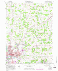
1961 Map of Mt Vernon
USGS Topo · Published 1983About this map
Mt Vernon serves as the focal point of this regional study, showing the city's development alongside the Kokosing River. The detailed street grid includes Sandusky St and Gambier St, connecting the urban center to institutions like the Mt Vernon State Hospital and the campus of Kenyon College in Gambier. Public life is well-documented through the presence of the County Fairground, the Knox-Vernon Speedway, and several local parks such as Phillips Park.
Find a feature on this map
73 named features on this map. Tap any name to fly to it.
Don’t see what you’re looking for? This feature index may not catch every label — zoom into the map to look around manually.
Map Details
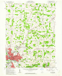
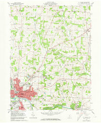
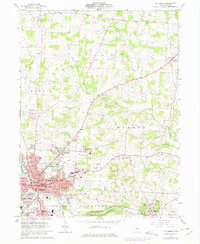
Editions of this 1961 Mt Vernon Map
4 editions found
Other maps of this area

1912 · Gambier
USGS Topo · 1:62,500

1912 · Perrysville
USGS Topo · 1:62,500

1914 · Gambier
USGS Topo · 1:62,500

1915 · Perrysville
USGS Topo · 1:62,500

1915 · Shauck
USGS Topo · 1:62,500

1915 · Fredericktown
USGS Topo · 1:62,500

1943 · Shauck
USGS Topo · 1:62,500

1943 · Gambier
USGS Topo · 1:62,500

1943 · Fredericktown
USGS Topo · 1:62,500

1944 · Perrysville
USGS Topo · 1:62,500