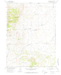
1963 Map of Jelm Mountain
USGS Topo · Published 1974About this map
Jelm Mountain dominates this portion of Albany County, rising above the western plains of the Laramie River valley. The map reveals a landscape defined by high-altitude ranching and early resource extraction, centered on the Cole Ranch and a network of named springs like Trapper Spring and Barrel Spring. Significant topographical landmarks such as Ring Mountain and Sunrise Pass provide orientation in this high-country environment, while the presence of Prospects and Quarries indicates the region's geological interest to early surveyors.
Find a feature on this map
33 named features on this map. Tap any name to fly to it.
Don’t see what you’re looking for? This feature index may not catch every label — zoom into the map to look around manually.
Map Details
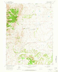
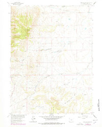
Editions of this 1963 Jelm Mountain Map
3 editions found
Other maps of this area

1895 · Laramie
USGS Topo · 1:125,000

1902 · Laramie
USGS Topo · 1:125,000

1905 · Laramie
USGS Topo · 1:125,000

1906 · Medicine Bow
USGS Topo · 1:125,000

1906 · Laramie
USGS Topo · 1:125,000

1908 · Laramie
USGS Topo · 1:125,000

1908 · Medicine Bow
USGS Topo · 1:125,000

1916 · Home
USGS Topo · 1:125,000

1920 · Home
USGS Topo · 1:125,000

1954 · Cheyenne
USGS Topo · 1:250,000