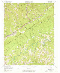
1963 Map of Jenkins East
USGS Topo · Published 1973About this map
Pine Mountain forms a towering natural spine through this 1963 survey, marking the state boundary between Kentucky and Virginia. Along the northern slopes, the Chesapeake and Ohio Railway follows the winding path of Shelby Creek through Shelby Gap, connecting a network of coal operations and small mountain communities like Beefhide and Hylton. The topography is dominated by extensive Strip Mines and numerous Gas Wells, illustrating the intense resource extraction of the mid-20th century.
Find a feature on this map
106 named features on this map. Tap any name to fly to it.
Don’t see what you’re looking for? This feature index may not catch every label — zoom into the map to look around manually.
Map Details
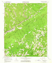
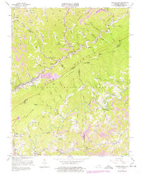
Editions of this 1963 Jenkins East Map
3 editions found
Other maps of this area

1886 · Grundy
USGS Topo · 1:125,000

1890 · Whitesburg
USGS Topo · 1:125,000

1890 · Grundy
USGS Topo · 1:125,000

1892 · Grundy
USGS Topo · 1:125,000

1892 · Whitesburg
USGS Topo · 1:125,000

1912 · Pound
USGS Topo · 1:48,000

1913 · Clintwood
USGS Topo · 1:62,500

1914 · Pound
USGS Topo · 1:62,500

1914 · Vergie
USGS Topo · 1:48,000

1915 · Clintwood
USGS Topo · 1:62,500