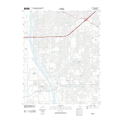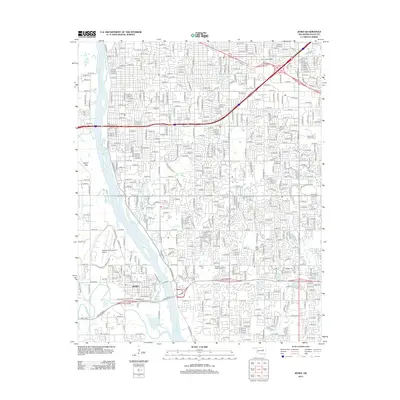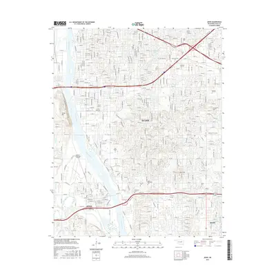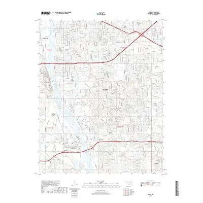
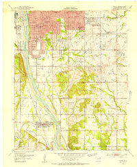
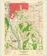
1952 Map of Jenks
USGS Topo · Published 1989About this map
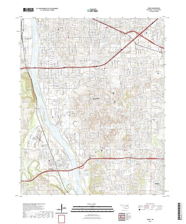
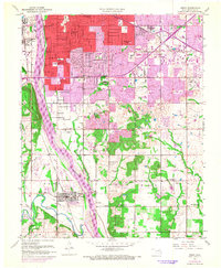
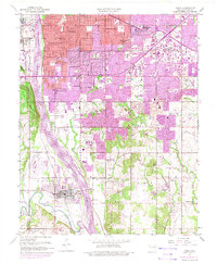
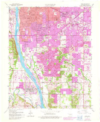
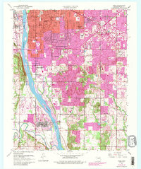
The Arkansas River corridor south of Tulsa reveals a landscape in rapid transition, where the heavy industrial heritage of an Oil Refinery and several rail lines meets an expanding suburban residential grid. The 1980s-era updates shown in purple highlight the urban sprawl reaching toward Jenks, formerly more distinct from the city center. Along the western bank, the rising terrain of Turkey Mountain provides a natural barrier between the river and Garden City, while to the east, the map is densely packed with educational and community landmarks like Holland Hall Sch and La Fortune County Park. For researchers, the presence of numerous neighborhood schools such as Eisenhower Sch and Skelly Jr High Sch alongside older sites like Haikey Chapel and Booker T Washington Cem provides a clear view of mid-century development patterns and local genealogy.
Find a feature on this map
49 named features on this map. Tap any name to fly to it.
Don’t see what you’re looking for? This feature index may not catch every label — zoom into the map to look around manually.
Map Details
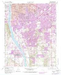
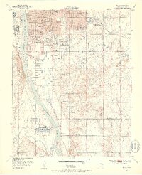
Editions of this 1952 Jenks Map
8 editions found
Historical Maps of Tulsa Through Time
6 maps found