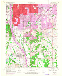
1952 Map of Jenks
USGS Topo · Published 1968About this map
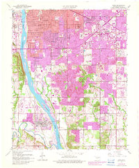
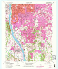
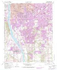
Arkansas River crossings and the expansion of south Tulsa define this mid-century period, capturing the city as it pushed toward the Fry Hills. The survey documents a landscape in transition, where established rural sites like Rentie Grove Ch and the Catholic Cem met the encroaching suburban grid of schools including Holland Hall Sch and Edison High Sch. Industrial activity remains prominent with an oil field and numerous oil wells scattered between Turkey Mountain and the residential growth near La Fortune Park. Further south, the town of Jenks is depicted at the confluence of the river and Polecat Creek, serving as a key local center near the Riverside Airport. This record detail includes the extensive rail infrastructure of the Texas and Pacific RR and the St Louis-San Francisco RR that supported the region's energy and transport economy.
Find a feature on this map
77 named features on this map. Tap any name to fly to it.
Don’t see what you’re looking for? This feature index may not catch every label — zoom into the map to look around manually.
Map Details
Editions of this 1952 Jenks Map
8 editions found

Other maps of this area

1896 · Okmulgee
USGS Topo · 1:125,000

1900 · Okmulgee
USGS Topo · 1:125,000

1901 · Claremore
USGS Topo · 1:125,000

1901 · Nuyaka
USGS Topo · 1:125,000

1912 · Hominy
USGS Topo · 1:125,000

1914 · Kiefer
USGS Topo · 1:62,500

1914 · Claremore
USGS Topo · 1:125,000

1915 · Hominy
USGS Topo · 1:125,000

1916 · Kiefer
USGS Topo · 1:62,500

1916 · Claremore
USGS Topo · 1:125,000