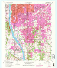
1952 Map of Jenks
USGS Topo · Published 1989About this map
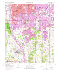
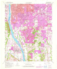
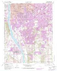
The Arkansas River divides this mid-century landscape, where industrial infrastructure and rapid suburban expansion meet the older rural foundations of Tulsa County. An Oil Refinery and numerous Oil Wells north of Garden City signal the region’s deep ties to energy, while the southern reaches near Jenks maintain a mix of aviation at the Richard Lloyd Jones Jr Airport and scattered agriculture.
Find a feature on this map
47 named features on this map. Tap any name to fly to it.
Don’t see what you’re looking for? This feature index may not catch every label — zoom into the map to look around manually.
Map Details
Editions of this 1952 Jenks Map
8 editions found

Other maps of this area

1896 · Okmulgee
USGS Topo · 1:125,000

1900 · Okmulgee
USGS Topo · 1:125,000

1901 · Claremore
USGS Topo · 1:125,000

1901 · Nuyaka
USGS Topo · 1:125,000

1912 · Hominy
USGS Topo · 1:125,000

1914 · Kiefer
USGS Topo · 1:62,500

1914 · Claremore
USGS Topo · 1:125,000

1915 · Hominy
USGS Topo · 1:125,000

1916 · Kiefer
USGS Topo · 1:62,500

1916 · Claremore
USGS Topo · 1:125,000