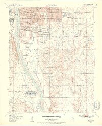
1952 Map of Jenks
USGS Topo · Published 1953About this map
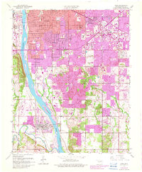
The Arkansas River serves as the central axis for this early 1950s survey of southern Tulsa County, where the transition from urban industrial centers to rural townships is clearly marked. To the north, the burgeoning residential grids of Tulsa and neighborhoods like Garden City and Highland Park are contrasted by the massive Oil Refinery and numerous Oil Wells that fueled the local economy. The presence of specialized institutions like Apostolic College, Holland Hall Sch, and the Art Museum highlights the area's cultural growth during the post-war era.
Find a feature on this map
50 named features on this map. Tap any name to fly to it.
Don’t see what you’re looking for? This feature index may not catch every label — zoom into the map to look around manually.
Map Details
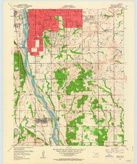
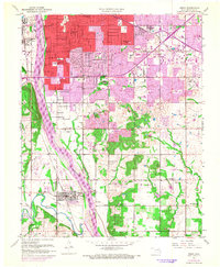
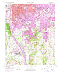
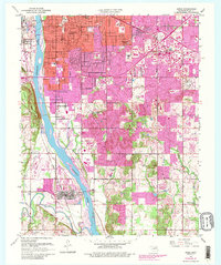
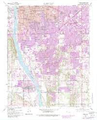
Editions of this 1952 Jenks Map
8 editions found

Other maps of this area

1896 · Okmulgee
USGS Topo · 1:125,000

1900 · Okmulgee
USGS Topo · 1:125,000

1901 · Claremore
USGS Topo · 1:125,000

1901 · Nuyaka
USGS Topo · 1:125,000

1912 · Hominy
USGS Topo · 1:125,000

1914 · Kiefer
USGS Topo · 1:62,500

1914 · Claremore
USGS Topo · 1:125,000

1915 · Hominy
USGS Topo · 1:125,000

1916 · Kiefer
USGS Topo · 1:62,500

1916 · Claremore
USGS Topo · 1:125,000