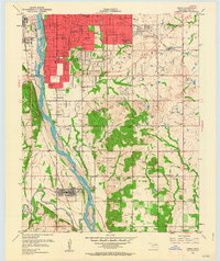
1952 Map of Jenks
USGS Topo · Published 1964About this map
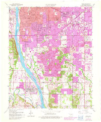
Arkansas River frontage and early industrial expansion define this mid-century survey of the southern reaches of Tulsa and its surroundings. The landscape shows a distinct transition from the dense urban grid and an Oil Refinery in the north to the more open township of Jenks, anchored by the Midland Valley railroad. This era was marked by the presence of numerous small-scale Oil Wells peppered across the hills, while institutional growth is evident in the many scattered schools such as Rentie Grove Sch and Holland Hall Sch.
Find a feature on this map
47 named features on this map. Tap any name to fly to it.
Don’t see what you’re looking for? This feature index may not catch every label — zoom into the map to look around manually.
Map Details
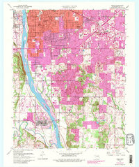
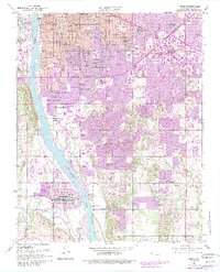
Editions of this 1952 Jenks Map
8 editions found

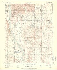
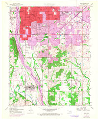
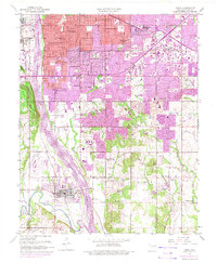
Other maps of this area

1896 · Okmulgee
USGS Topo · 1:125,000

1900 · Okmulgee
USGS Topo · 1:125,000

1901 · Claremore
USGS Topo · 1:125,000

1901 · Nuyaka
USGS Topo · 1:125,000

1912 · Hominy
USGS Topo · 1:125,000

1914 · Kiefer
USGS Topo · 1:62,500

1914 · Claremore
USGS Topo · 1:125,000

1915 · Hominy
USGS Topo · 1:125,000

1916 · Kiefer
USGS Topo · 1:62,500

1916 · Claremore
USGS Topo · 1:125,000