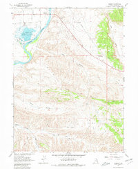
1965 Map of Jensen
USGS Topo · Published 1980About this map
The Green River carves a sweeping path through this 1965 survey of eastern Utah, where the riparian corridor meets the stark, dissected uplands of the Uintah Basin. The settlement of Jensen sits at the northern edge, serving as a gateway to the surrounding wilderness and the industrial activity marked by several Oil Well sites. To the south, the Stewart Lake Waterfowl Management Area preserves a vital wetland environment around Stewart Lake at the confluence with Ashley Creek.
Find a feature on this map
21 named features on this map. Tap any name to fly to it.
Don’t see what you’re looking for? This feature index may not catch every label — zoom into the map to look around manually.
Map Details
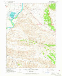
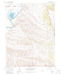
Editions of this 1965 Jensen Map
3 editions found
Other maps of this area

1885 · Ashley
USGS Topo · 1:250,000

1907 · Jensen
USGS Topo · 1:125,000

1910 · Jensen
USGS Topo · 1:125,000

1954 · Vernal
USGS Topo · 1:250,000

1955 · Split Mountain
USGS Topo · 1:24,000

1958 · Vernal
USGS Topo · 1:250,000

1960 · Vernal
USGS Topo · 1:250,000
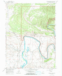
1965 · Dinosaur Quarry
USGS Topo · 1:24,000
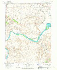
1965 · Rasmussen Hollow
USGS Topo · 1:24,000
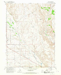
1965 · Naples
USGS Topo · 1:24,000