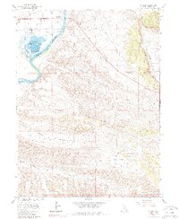
1965 Map of Jensen
USGS Topo · Published 1987About this map
Jensen stands as the primary hub of this 1960s landscape, situated where the Green River flows through the Uintah Basin near the base of the majestic The Rim Rock. The river dominates the western portion of the terrain, feeding into Stewart Lake and the associated Stewart Lake Waterfowl Management Area. This confluence of water and dry land created a vital pocket for early settlement and habitat preservation in a region otherwise defined by complex drainage systems like Ashley Creek, Kane Hollow, and Spring Hollow. Beyond the riparian corridor, the map details a landscape of industrial and natural transitions, from isolated Oil Wells and a Gravel Pit to the expansive Sage Bench. The presence of several Pipeline corridors and a network of Jeep Trails underscores the ongoing efforts to navigate and extract resources from the surrounding basins.
Find a feature on this map
19 named features on this map. Tap any name to fly to it.
Don’t see what you’re looking for? This feature index may not catch every label — zoom into the map to look around manually.
Map Details
Editions of this 1965 Jensen Map
3 editions found
Other maps of this area

1885 · Ashley
USGS Topo · 1:250,000

1907 · Jensen
USGS Topo · 1:125,000

1910 · Jensen
USGS Topo · 1:125,000

1954 · Vernal
USGS Topo · 1:250,000

1955 · Split Mountain
USGS Topo · 1:24,000

1958 · Vernal
USGS Topo · 1:250,000

1960 · Vernal
USGS Topo · 1:250,000
1965 · Dinosaur Quarry
USGS Topo · 1:24,000
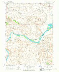
1965 · Rasmussen Hollow
USGS Topo · 1:24,000
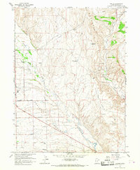
1965 · Naples
USGS Topo · 1:24,000