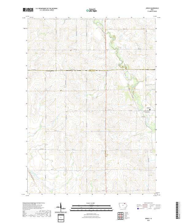
2022 Map of Jerico
USGS Topo · Published 2022About this map
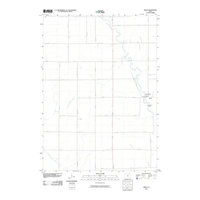
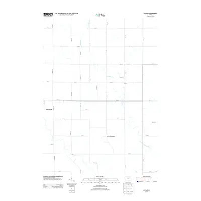
The small settlement of Jerico serves as the focal point for this rural Chickasaw County landscape, situated along Co Hwy B22. This area of northeast Iowa is defined by its deep agricultural roots and a drainage network including the E Fork Wapsipinicon River and Freidhof Cr. A significant landmark for local historians and genealogists is the Jerico Lutheran Church and Jerico Lutheran Cem, which anchors the community at the intersection of 120th St and Odessa Ave. The map also highlights the Price Wildlife Habitat Trl in the southwest corner, showcasing the balance between cultivated farmland and preserved natural spaces. The rectilinear road grid, marked by thoroughfares such as McCloud Ave and Co Line Rd, reflects the enduring Public Land Survey System structure that has organized this territory since the initial township divisions.
Find a feature on this map
34 named features on this map. Tap any name to fly to it.
Don’t see what you’re looking for? This feature index may not catch every label — zoom into the map to look around manually.
Map Details
Editions of this 2022 Jerico Map
This is the sole edition of this map. No revisions or reprints were ever made.
Historical Maps of Jerico Through Time
18 maps found
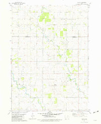
1971 Tripoli NW
Chickasaw County, IA
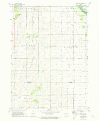
1972 Jerico
Chickasaw County, IA
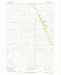
1981 Saude
Chickasaw County, IA
2010 Jerico
Chickasaw County, IA
2010 Saude
Chickasaw County, IA
2010 Tripoli NW
Chickasaw County, IA
2013 Jerico
Chickasaw County, IA
2013 Saude
Chickasaw County, IA
2013 Tripoli NW
Chickasaw County, IA
2015 Jerico
Chickasaw County, IA
2015 Saude
Chickasaw County, IA
2015 Tripoli NW
Chickasaw County, IA
2018 Jerico
Chickasaw County, IA
2018 Saude
Chickasaw County, IA
2018 Tripoli NW
Chickasaw County, IA
2022 Jerico
Chickasaw County, IA
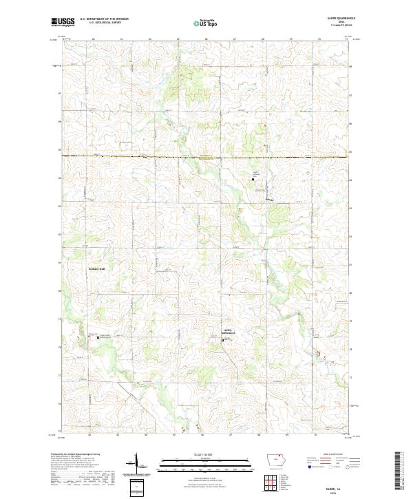
2022 Saude
Chickasaw County, IA
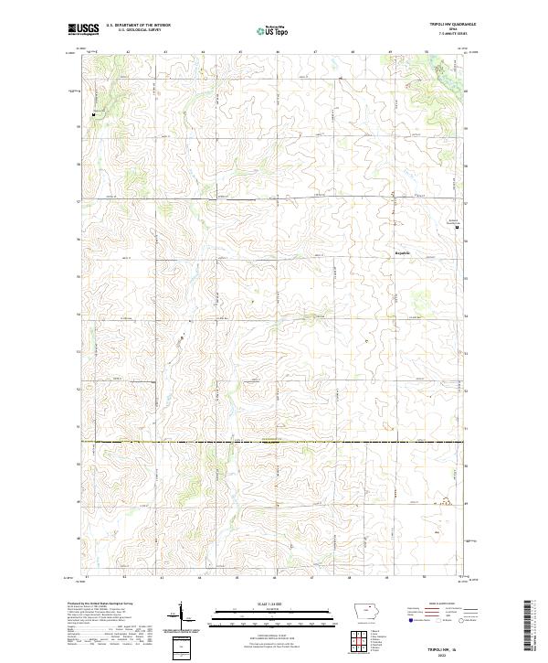
2022 Tripoli NW
Chickasaw County, IA