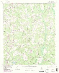
1964 Map of Jersey
USGS Topo · Published 1986About this map
The agrarian borderland between Walton and Newton Counties appears here as it was surveyed in the 1960s, defined by its rolling watersheds and numerous family cemeteries. The landscape is anchored by the community of Jersey, with other rural nodes like Walnut Grove and Dialtown linked by thoroughfares such as Hightower Trail and Ellington Road. The topography is marked by significant elevations like Alcovy Mountain and Cornish Mountain, while the drainage system of Cornish Creek and Big Flat Creek feeds into the Alcovy River. Genealogical interest is high on this sheet, which meticulously plots family burying grounds including Harris Cem, Brodnax Cem, and Chapman Cem. In the southern reaches, the Covington Municipal Airport and the Covington Reservoir reflect mid-century infrastructure developments near the city of Oxford.
Find a feature on this map
61 named features on this map. Tap any name to fly to it.
Don’t see what you’re looking for? This feature index may not catch every label — zoom into the map to look around manually.
Map Details
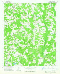
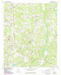
Editions of this 1964 Jersey Map
3 editions found
Other maps of this area

1896 · Monroe
USGS Topo · 1:125,000

1953 · Athens
USGS Topo · 1:250,000

1958 · Athens
USGS Topo · 1:250,000

1959 · Athens
USGS Topo · 1:250,000

1963 · Athens
USGS Topo · 1:250,000
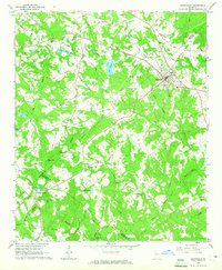
1964 · Loganville
USGS Topo · 1:24,000

1964 · Between
USGS Topo · 1:24,000

1964 · Monroe
USGS Topo · 1:24,000

1964 · Porterdale
USGS Topo · 1:24,000

1964 · Covington
USGS Topo · 1:24,000