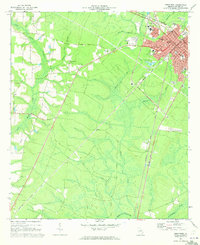
1970 Map of Jesup West
USGS Topo · Published 1973About this map
The growing city of Jesup serves as the focal point of this 1970 survey, revealing a bustling Southeast Georgia hub at the intersection of the Southern Railway and the Seaboard Coast Line. The map documents a significant era of civic and educational development, featuring the County High School, Wayne Memorial Hospital, and the Jesup-Wayne County Airport.
Find a feature on this map
37 named features on this map. Tap any name to fly to it.
Don’t see what you’re looking for? This feature index may not catch every label — zoom into the map to look around manually.
Map Details
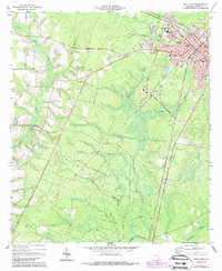
Editions of this 1970 Jesup West Map
2 editions found
Other maps of this area

1918 · Jesup
USGS Topo · 1:62,500

1918 · Hortense
USGS Topo · 1:62,500

1943 · Jesup
USGS Topo · 1:62,500

1944 · Hortense
USGS Topo · 1:62,500

1946 · Brunswick
USGS Topo · 1:250,000

1948 · Brunswick
USGS Topo · 1:250,000

1953 · Waycross
USGS Topo · 1:250,000

1956 · Brunswick
USGS Topo · 1:250,000

1958 · Waycross
USGS Topo · 1:250,000

1961 · Brunswick
USGS Topo · 1:250,000