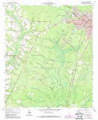
1970 Map of Jesup West
USGS Topo · Published 1988About this map
The city of Jesup serves as the regional hub for Wayne County, where the Southern railroad lines intersect the expanding road network. In this 1970 survey, the town's growth is evident through institutional developments like the Wayne Mem Hosp, County High Sch, and the Jesup-Wayne Co Airport. The surrounding landscape is characterized by a distinctive network of "bays" and wetlands, including Millikin Bay and Mosely Bay, which influence the local drainage patterns into Little Satilla Creek and Penholoway Creek.
Find a feature on this map
38 named features on this map. Tap any name to fly to it.
Don’t see what you’re looking for? This feature index may not catch every label — zoom into the map to look around manually.
Map Details
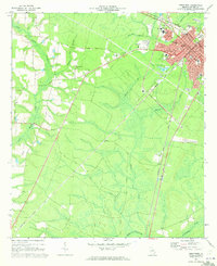
Editions of this 1970 Jesup West Map
2 editions found
Other maps of this area

1918 · Jesup
USGS Topo · 1:62,500

1918 · Hortense
USGS Topo · 1:62,500

1943 · Jesup
USGS Topo · 1:62,500

1944 · Hortense
USGS Topo · 1:62,500

1946 · Brunswick
USGS Topo · 1:250,000

1948 · Brunswick
USGS Topo · 1:250,000

1953 · Waycross
USGS Topo · 1:250,000

1956 · Brunswick
USGS Topo · 1:250,000

1958 · Waycross
USGS Topo · 1:250,000

1961 · Brunswick
USGS Topo · 1:250,000