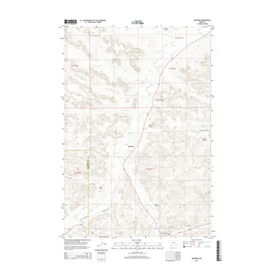
2014 Map of Jimtown
USGS Topo · Published 2014About this map
Jimtown serves as the central settlement point in this 2014 survey of the Northern Cheyenne Indian Reservation, where the drainage of Rosebud Cr and its many tributaries carve through the Montana landscape. The geography is defined by a series of named coulees and gulches, including Richard Coulee and Yellow Fox Gulch, which illustrate the complex erosion patterns of the region. Near the southern boundary, significant local landmarks such as the Chief Dull Knife Coll and the Lame Deer Cem provide important cultural and genealogical touchpoints for the Lame Deer area. Transportation routes like MT-39 and Us-212 intersect with older utility roads such as Lynch Coal Rd, reflecting the area's development. Scattered water sources, notably the Isaac Kue Spring and Barb Wood Spring, highlight the vital natural resources that have sustained the community and local ranching across the generations.
Find a feature on this map
30 named features on this map. Tap any name to fly to it.
Don’t see what you’re looking for? This feature index may not catch every label — zoom into the map to look around manually.
Map Details
Editions of this 2014 Jimtown Map
This is the sole edition of this map. No revisions or reprints were ever made.
Other maps of this area

1954 · Hardin
USGS Topo · 1:250,000

1957 · Hardin
USGS Topo · 1:250,000

1958 · Hardin
USGS Topo · 1:250,000

1958 · Painted Hill
USGS Topo · 1:24,000

1958 · Jimtown
USGS Topo · 1:24,000

1958 · Black Spring
USGS Topo · 1:24,000

1958 · Fisher Butte
USGS Topo · 1:24,000

1958 · Lame Deer
USGS Topo · 1:24,000

1958 · Badger Peak
USGS Topo · 1:24,000

1971 · Colstrip SW
USGS Topo · 1:24,000