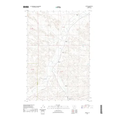
2020 Map of Jimtown
USGS Topo · Published 2020About this map
Jimtown serves as the central hub of this Rosebud County landscape, situated near the confluence of several seasonal and permanent watercourses. The settlement is positioned along Rosebud Cr, with the terrain rising into a complex network of coulees and gulches including Richard Coulee, Davidson Coulee, and Yellow Fox Gulch. To the south, the presence of the Chief Dull Knife College and the Chief Dull Knife College Lame Deer Cem highlights the area's cultural and educational significance.
Find a feature on this map
27 named features on this map. Tap any name to fly to it.
Don’t see what you’re looking for? This feature index may not catch every label — zoom into the map to look around manually.
Map Details
Editions of this 2020 Jimtown Map
This is the sole edition of this map. No revisions or reprints were ever made.
Other maps of this area

1954 · Hardin
USGS Topo · 1:250,000

1957 · Hardin
USGS Topo · 1:250,000

1958 · Hardin
USGS Topo · 1:250,000

1958 · Painted Hill
USGS Topo · 1:24,000

1958 · Jimtown
USGS Topo · 1:24,000

1958 · Black Spring
USGS Topo · 1:24,000

1958 · Fisher Butte
USGS Topo · 1:24,000

1958 · Lame Deer
USGS Topo · 1:24,000

1958 · Badger Peak
USGS Topo · 1:24,000

1971 · Colstrip SW
USGS Topo · 1:24,000