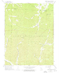
1968 Map of Johnson Mountain
USGS Topo · Published 1977About this map
Johnson Mountain and the surrounding timberlands of the Clark National Forest define this landscape along the Big River and Middle Fork Black River. In the late 1960s, the area remained characterized by small, isolated settlements like Enough and Redmondville, connected by a network of jeep trails and traditional paths. The presence of Council Bluff Ch and Ottery Ch, alongside the Rencehausen Cem and Terry Cem, provides essential points of reference for genealogists tracing family roots in this part of Iron and Washington Counties. Industrial and recreational markers are sparse but significant, including a lone Mine in the northwest and the Keith Springs Picnic Area. Notable geological features such as Peter Cave No 1 and Peter Cave No 2 are tucked into Peter Cave Hol, reflecting the complex karst topography of the Missouri Ozarks.
Find a feature on this map
33 named features on this map. Tap any name to fly to it.
Don’t see what you’re looking for? This feature index may not catch every label — zoom into the map to look around manually.
Map Details
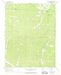
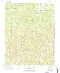
Editions of this 1968 Johnson Mountain Map
3 editions found
Other maps of this area

1906 · Potosi
USGS Topo · 1:62,500

1924 · Edgehill
USGS Topo · 1:62,500

1926 · Edgehill
USGS Topo · 1:62,500

1943 · Berryman
USGS Topo · 1:62,500

1943 · Boss
USGS Topo · 1:62,500

1945 · Berryman
USGS Topo · 1:62,500

1946 · Boss
USGS Topo · 1:62,500

1949 · Rolla
USGS Topo · 1:250,000

1953 · Rolla
USGS Topo · 1:250,000

1954 · Rolla
USGS Topo · 1:250,000