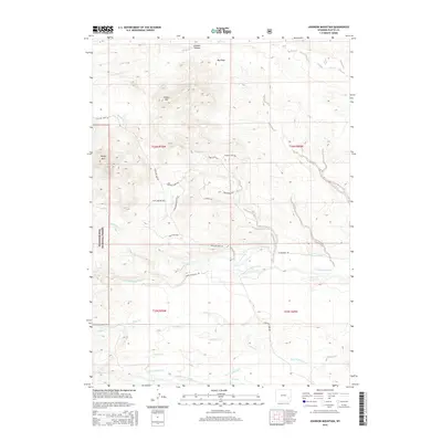
2015 Map of Johnson Mountain
USGS Topo · Published 2015About this map
The eastern edges of the Medicine Bow National Forest meet high-altitude drainage systems in this Platte County landscape. Significant elevation changes are defined by Johnson Mtn and Sheep Mtn, while the Johnson Canyon and Big Draw channel water toward the plains. The complex hydrography of the region is evident in the divergence of the N Laramie River and the Dry Laramie River, alongside man-made irrigation features like Mitchell Ditch, Merkel Ditch Number 1, and Pine Ditch. These waterways support the sparse ranching infrastructure connected by primitive routes such as Fletcher Park Rd and Devils Washtub Trl. The map illustrates a transitional environment where rugged peaks give way to a network of creeks, including Landis Cr and Rabbit Cr, demonstrating how water management shaped settlement patterns in this part of Wyoming.
Find a feature on this map
33 named features on this map. Tap any name to fly to it.
Don’t see what you’re looking for? This feature index may not catch every label — zoom into the map to look around manually.
Map Details
Editions of this 2015 Johnson Mountain Map
This is the sole edition of this map. No revisions or reprints were ever made.
Other maps of this area

1943 · Esterbrook
USGS Topo · 1:62,500

1945 · Esterbrook
USGS Topo · 1:62,500

1950 · Coleman Butte
USGS Topo · 1:24,000

1950 · Cottonwood Falls
USGS Topo · 1:24,000

1951 · Coleman Butte
USGS Topo · 1:24,000

1951 · Cottonwood Falls
USGS Topo · 1:24,000

1953 · Lewis Flat
USGS Topo · 1:24,000

1953 · Hightower
USGS Topo · 1:24,000

1953 · Hightower SW
USGS Topo · 1:24,000

1953 · Johnson Mountain
USGS Topo · 1:24,000